Progress Reporting
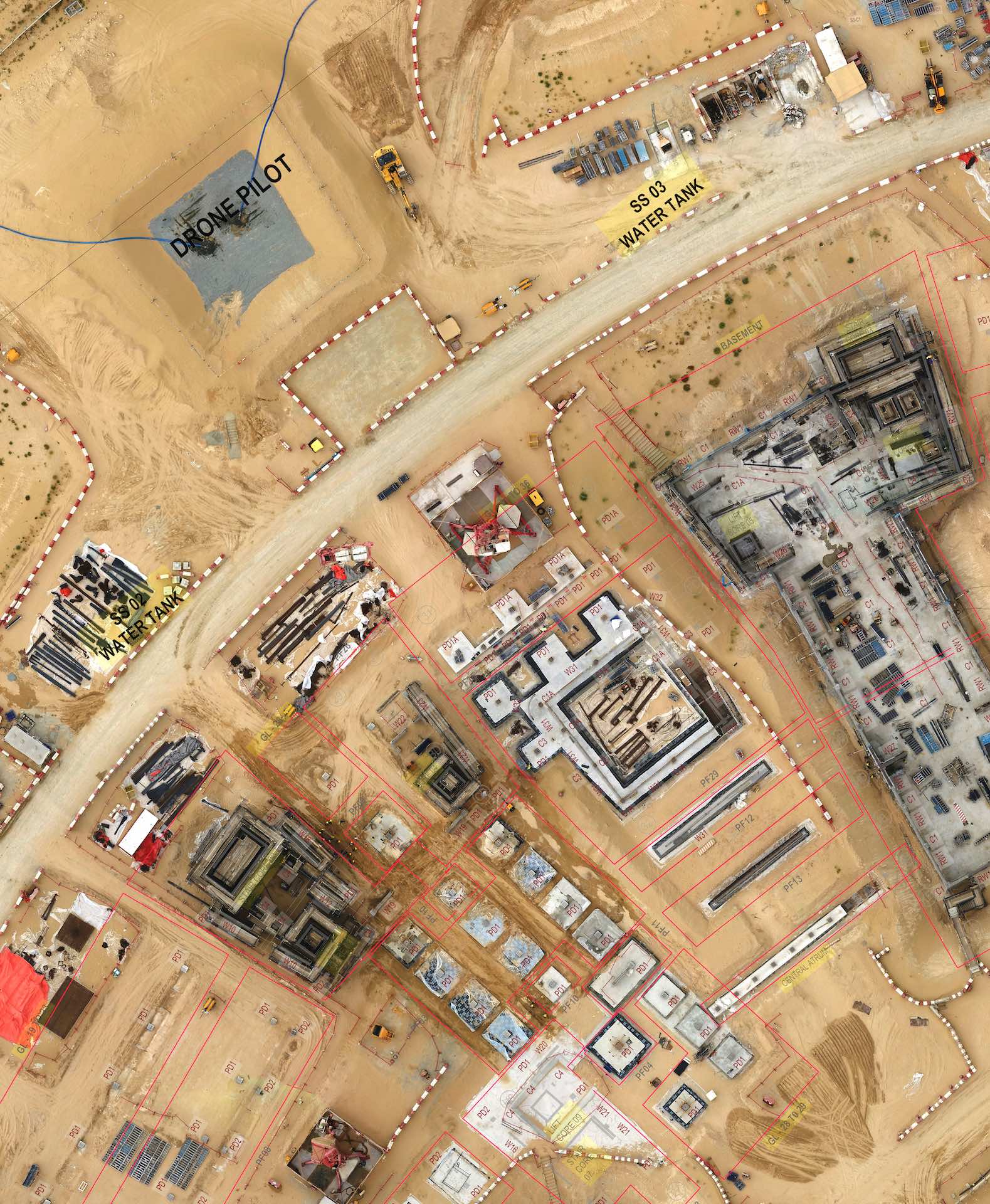
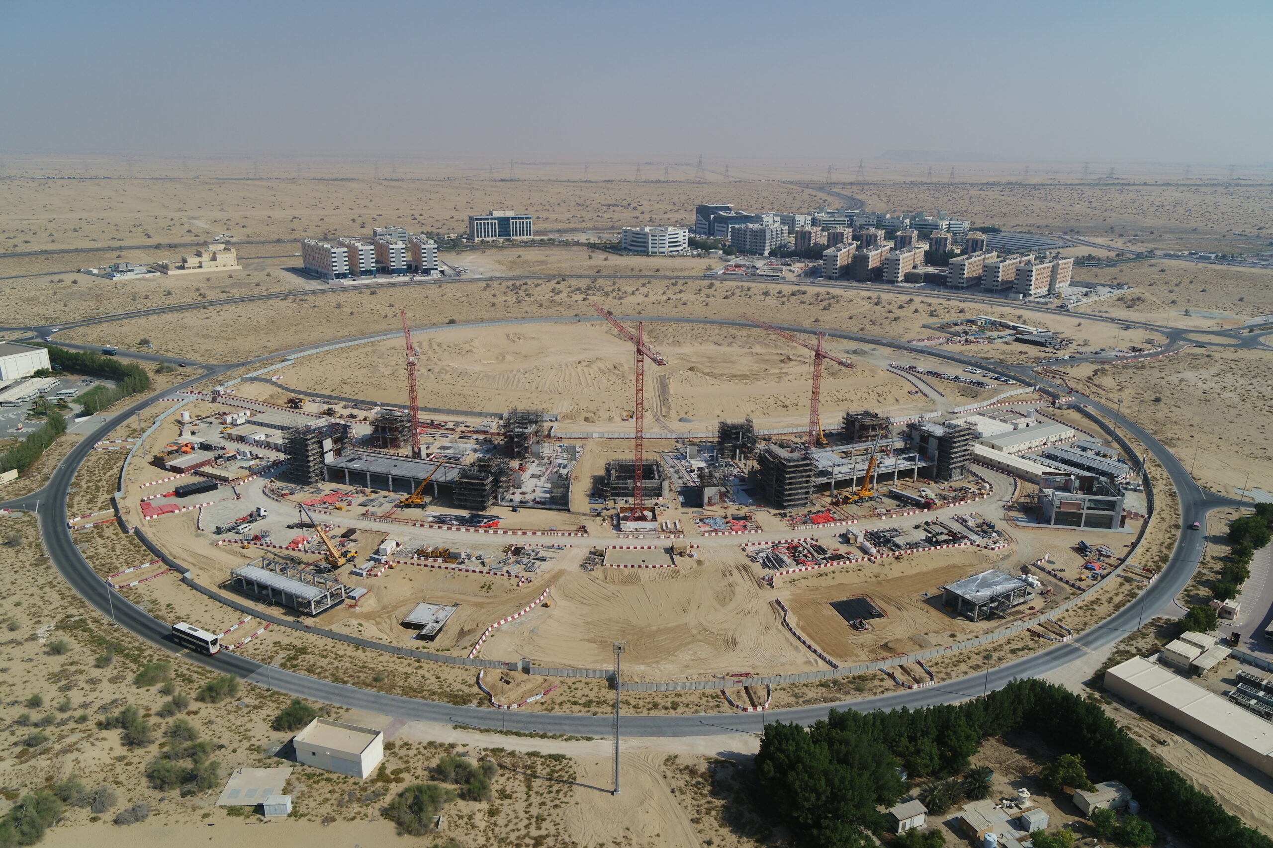
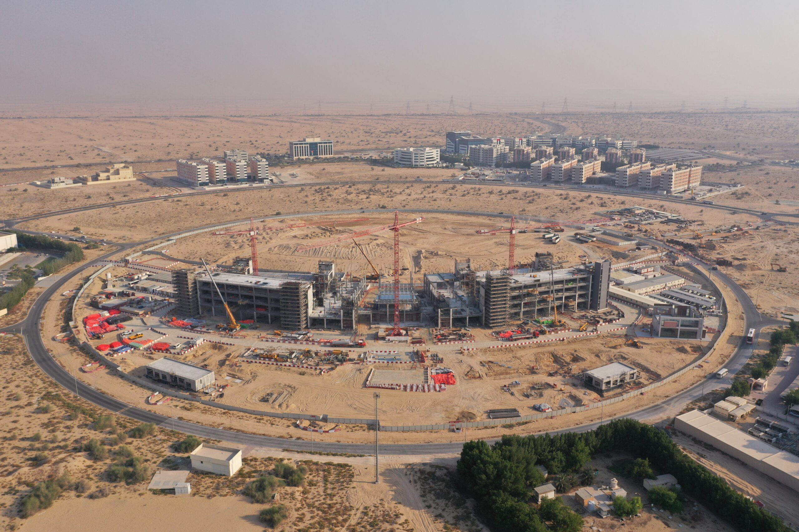
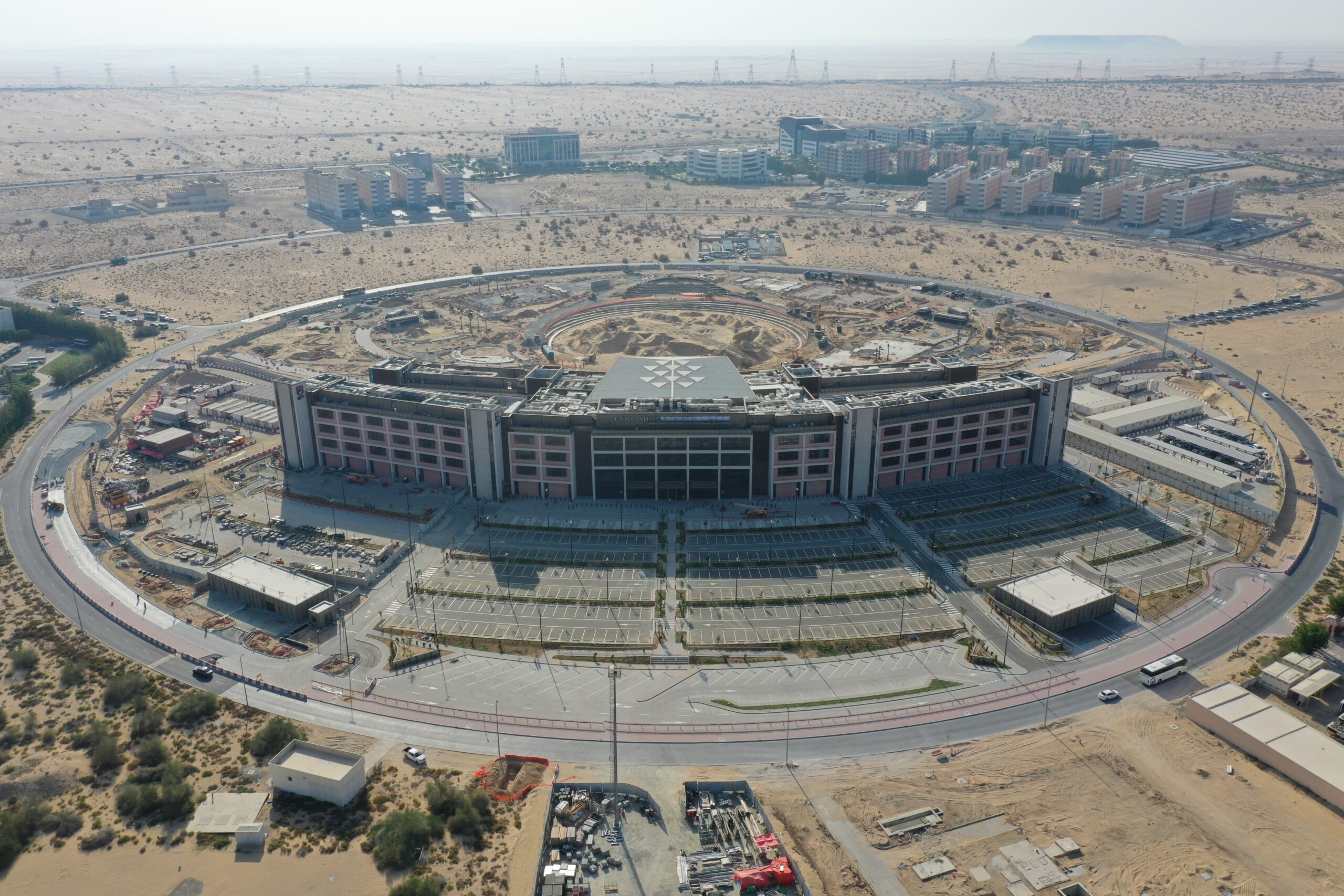
Our advanced construction progress reporting service is tailored specifically for the construction industry. Using the latest drone technology, we provide real-time updates on construction projects through high-quality photos, videos and mapping services. Enjoy an detailed overview of your project with our comprehensive aerial visualization.
Our interactive progress tracking tools showcase the project’s evolution from start to finish, enabling stakeholders to monitor milestones. Safety is our top priority, and our drone footage helps identify potential hazards, ensuring a secure working environment. Improve your construction management with our web-based construction progress reporting platform, providing efficient and transparent solutions for all your construction needs.
Drone survey and its advantages

Accurate Data Collection
Drone surveys offer precise and high-resolution data, enabling detailed mapping and measurements for construction, land development, and environmental assessments.

Cost-Efficient Solution
Compared to traditional surveying methods, drones provide a cost-effective option for data collection, reducing expenses while maintaining accuracy and quality.

Time-Saving Technology
Drones can rapidly survey large areas in a fraction of the time required by manual methods, streamlining project timelines and increasing overall efficiency.

Enhanced Safety
Conducting surveys with drones reduces the need for personnel to work in hazardous or hard-to-reach locations, promoting a safer work environment and minimizing potential risks.

Versatility Across Industries
Drone surveys find applications in various industries, including agriculture, infrastructure, mining, and more, making them a versatile solution for a wide range of projects.
Drone Progress Reporting and its advantages
Real-time Updates:
Drone surveys offer precise and high-resolution data, enabling detailed mapping and measurements for construction, land development, and environmental assessments.
Aerial Visualization:
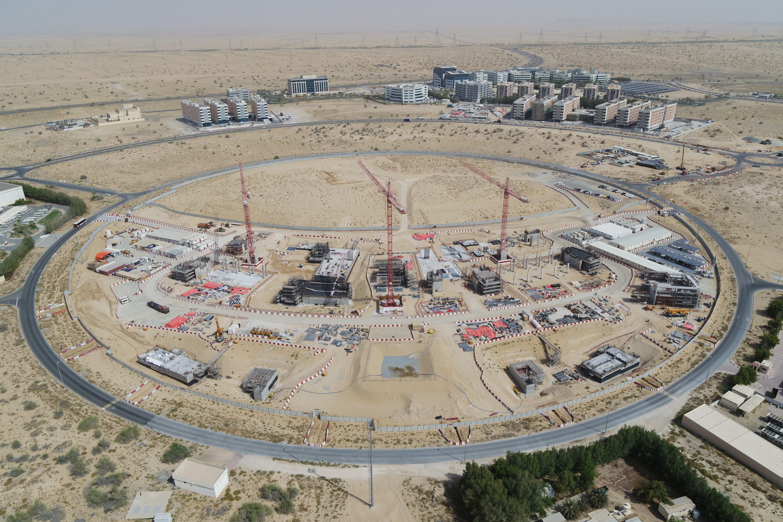
Gain a comprehensive view of the construction site through high-resolution aerial images and videos, providing an in-depth understanding of the project's spatial layout.
Interactive Progress Tracking
Follow the construction journey with interactive charts and dynamic time-lapse videos, showcasing milestone achievements from start to finish.
Safety Insights
Drone footage highlights potential hazards and safety compliance, demonstrating the company's commitment to maintaining a secure work environment.
Data-driven Decision Making
Drone surveys find applications in various industries, including agriculture, infrastructure, mining, and more, making them a versatile solution for a wide range of projects.
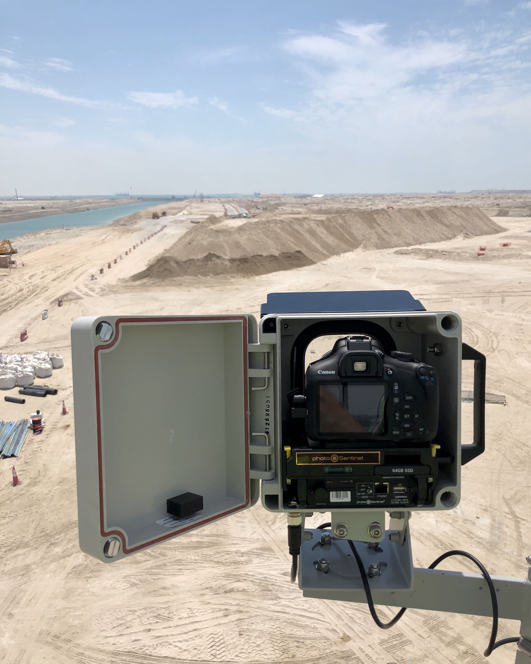
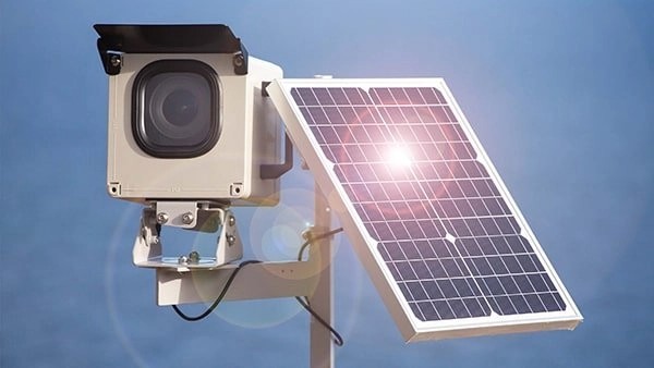
Time Lapse Cameras
Built to withstand weather conditions Heat resistant, up to 10 years lifecycle 4k Images Live lapse Solar Powered 4G/5G Connectivity Backup battery Online viewing gallery Remote Support